Wildfire Mitigation Strategy Moving West of Highway 40 this Spring
The Wildfire Mitigation Strategy, approved by Council in 2015, is moving onto Priority 3 this spring with planning, engagement and public education set for the Highway 40 West area.
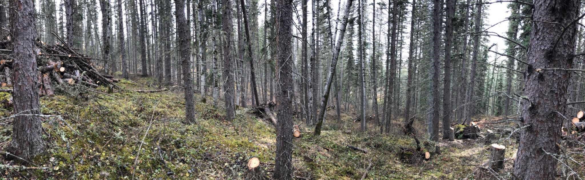
“This phase will include assessment and mapping of public lands in the area,” said Dan Lemieux, Director of Community Services. “This important work will be completed by a professional forester and will provide detailed information to inform future actions toward wildfire mitigation. No vegetation management will take place at this stage.”
The Highway 40 West area encompasses over 1,100 hectares of land located north of the Wapiti River and west of Highway 40. This includes rural subdivisions of the Ranch, Dunes West, Deer Ridge Estates and Mystic Ridge, and is just south of Deer Run Estates and Park Meadows. Continue reading the full news release.
